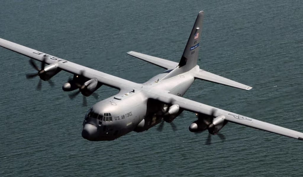
The Air Force sent Hurricane Hunter aircraft into the atmospheric river that is causing record-breaking floods across western Washington. The aircraft, previously thought to belong to the National Oceanic Atmospheric Administration (NOAA), is based out of Mather Air Force Base near Sacramento. Normally this model of aircraft is used to fly into east coast hurricanes to collect data on weather patterns and storm systems, but many are reassigned to the Pacific from January to March.
The aircraft flew into the Pacific Ocean off of Washington’s coast and dropped weather instruments called “dropsondes” which collect weather data from the water. Additionally, several weather balloons have been launched from Tacoma every three hours carrying “radiosondes” which measure humidity, temperature, and wind. Data is then fed to computer models that inform storm development, instead of relying solely on satellite imaging. Bottom-up and top-down data greatly improves the accuracy of these models.
Data collected from these efforts provided key information, as the atmospheric river began concentrating in Skagit County, instead of the previously predicted Cowlitz County. This allowed officials to more accurately distribute resources in preparation for larger floods. The floods have currently sparked evacuation orders in Stanwood, Burlington, and parts of Mount Vernon, Auburn Renton, and Tukwila.
Atmospheric rivers cause far more extensive damage than average rain storms. The constant precipitation can drop a year’s worth of rain on a given region, making the affected areas prone to flash flooding and landslides. Previously given the name “Pineapple Express”, a nod to a typical storm formation from the Hawaiian region, this atmospheric river stretches across the Pacific to Asia. Monitoring will continue as the storms develop.